Back to Results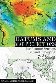
—out of 5—out of 5—out of 5—out of 5—out of 5—out of 5
Magical Tome
- First published
- 2000
- Publisher
- Whittles Publishing
- Pages
- 160 pages
- ISBN
- 9780849308840
Datums and Map Projections
The outer archives are busy
About this book
"The development of geographic information systems for handling and manipulating data in digital form, and also the development of techniques such as the global positioning system and satellite (or airborne) remote sensing, has led to a vast increase in the use of spatial data. This book is a practical guide for those working with spatially referenced data to the problems that may be associated with datums and map projections. The book makes the issues clear without assuming any prior knowledge and focuses on solving the problems encountered when combining data from different sources. It explores the short cuts applicable when incomplete information is available. There are many practical examples and extensive case studies and appendices of essential formulae. It is ideal for students and practitioners in surveying, remote sensing, geographic information systems and related areas and caters for the non-specialist."--Jacket.
Match Score
Create a free account to see Match Scores on books the community has marked — once you’ve set your preferences.
Create free accountMarks of the Realm
Marks left by readers of this tome
No community marks yet — be the first to inscribe this tome.
Pacing
Horror / Dark Elements
Romance
Spice Level
LGBTQ+ Representation
Social & Political Themes in Stories